Hi all,
I was wondering if someone could help me understand Shotlink data. I found the data on the PGATour website:
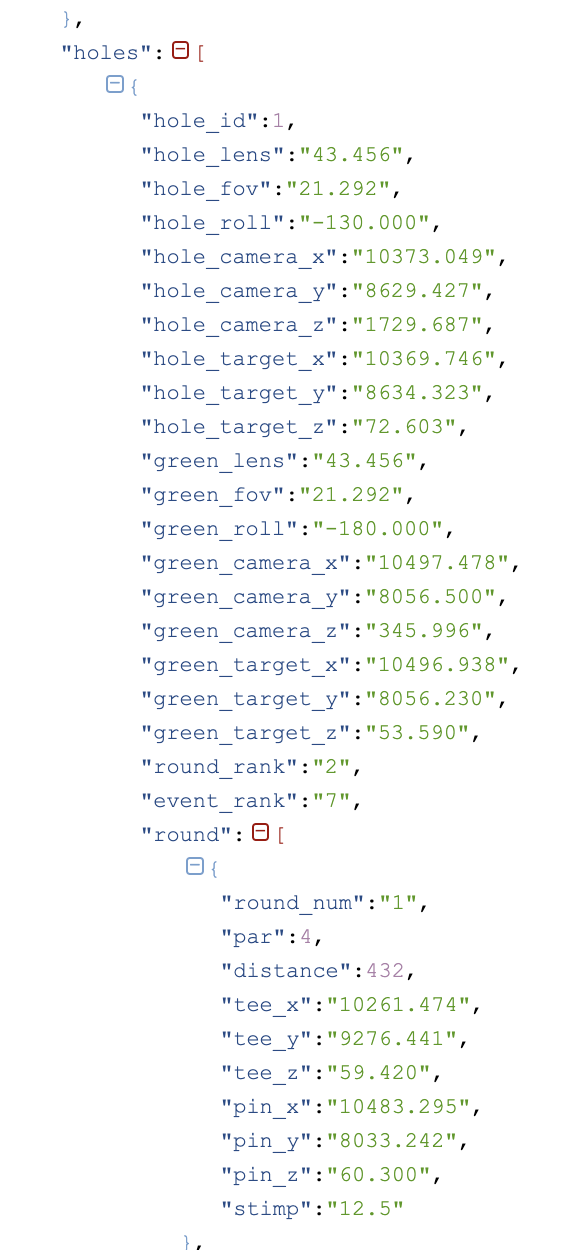
-
What excatly represents the xyz-coordinates in the sense of what is the origin / scale / axis? I understand z is the elevation. But what is the meaning of x = 10261.474 ?
What’s the origin of the xy-coordinates? What location is (0, 0)? Is it Shotlink’s bus on the parking? Is it the club house? -
Can we transform the xyz-coordinates in latitude- and longitude coordinates and how is this exactly done?
Thanks